- Location
- Kalinanwan RIver
- Client
- -
Project overview
Work shaped by place and purpose.
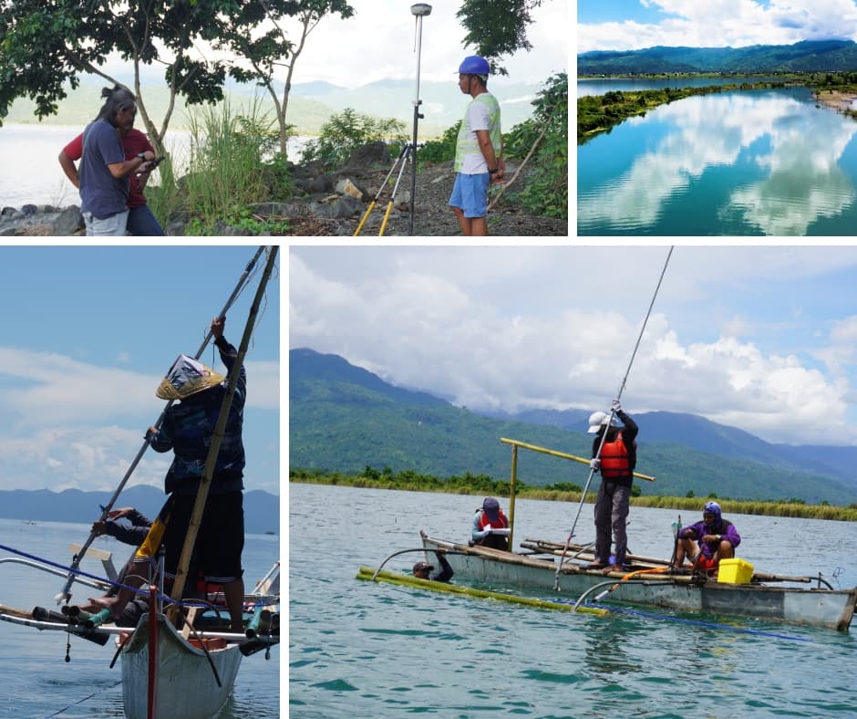
In 2022, the Galerio Environmental Consultancy Inc. (GECI) technical team conducted topographic surveying, river flow measurement, and water level assessment along the Kalinawan River as part of a hydrological field investigation. The investigation involved collecting field data to characterize river conditions, including surrounding topography, streamflow, and water levels. Topographic surveying provided spatial and elevation information relevant to understanding the river corridor and its surrounding terrain. Flow measurements supported the assessment of river discharge, while water level measurements documented river stage conditions during the survey period. The field investigation provided technical information relevant to river characterization, hydrological assessment, and water resource planning. The project also reflects GALERIO's experience in conducting field-based hydrological and surveying activities within Mindanao.
Our contribution
Services provided
- Approach:
- Identify designated survey locations along the Kalinawan River.
- Conduct topographic surveying to collect terrain and elevation information within the investigation area.
- Perform river flow measurements to obtain streamflow data under the conditions observed during the survey.
- Measure river water levels at designated monitoring locations.
- Document field observations and relevant river conditions during the investigation.
- Compile the topographic, flow, and water level measurements to support hydrological assessment and river characterization.
Related work
More in Engineering and Geoscience
 Engineering and Geoscience
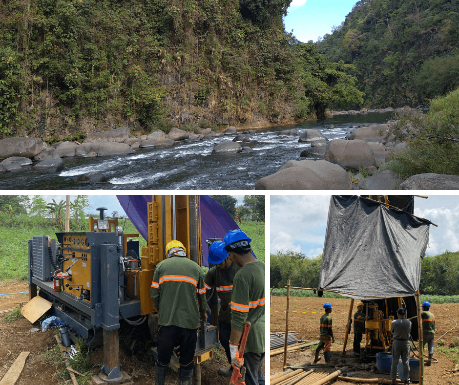
33.5 MW Bulanog–Batang Hydropower Project – Geotechnical and Geophysical Investigation
Talakag, BukidnonComprehensive geotechnical and geophysical investigation for the proposed 33.5 MW Bulanog–Batang Hydropower Project in Talakag, Bukidnon, involving 15 exploratory boreholes, Standard Penetration Tests, permeability testing, downhole seismic testing, and seismic prospecting to support engineering design and construction planning.View Project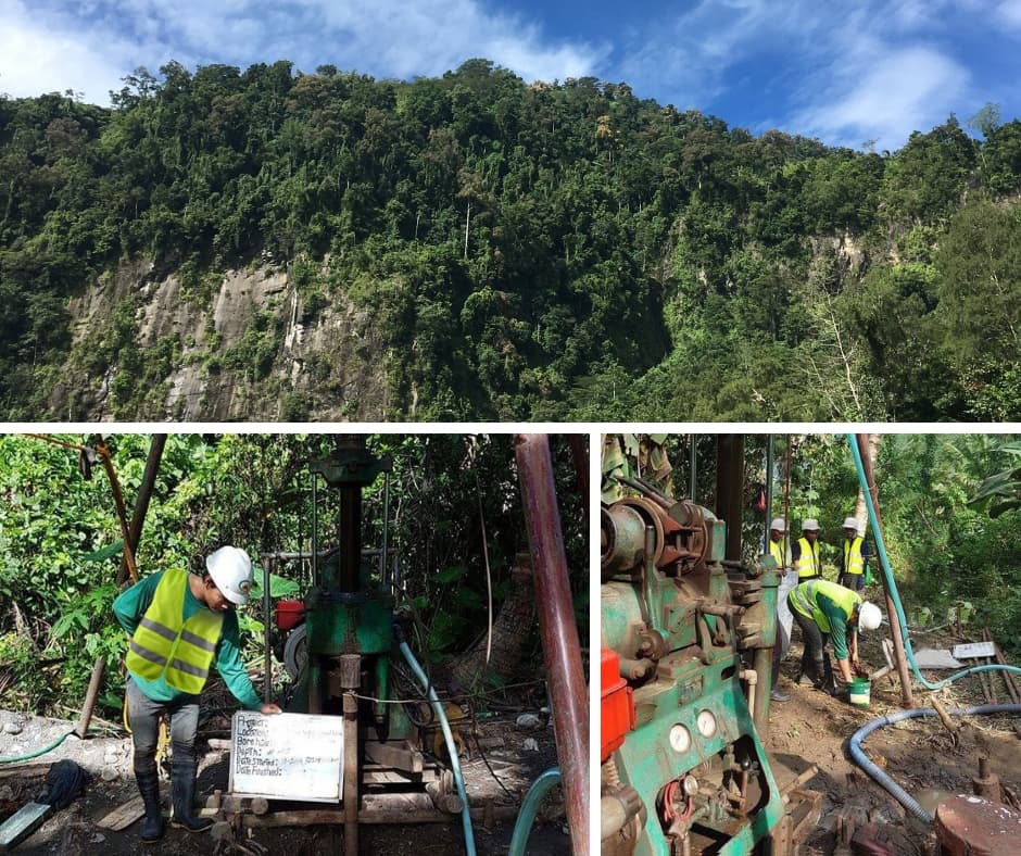 Engineering and Geoscience
Cabadbaran Hydroelectric Power Project – Geotechnical Investigation for Detailed Engineering Design
CabadbaranComprehensive geotechnical investigation for Markham Resources Corporation's Cabadbaran Hydroelectric Power Project, involving 14 exploratory boreholes, 12 test pits, 15 Standard Penetration Tests, nine packer tests, and laboratory testing of soil and rock samples to support detailed engineering design.View Project Engineering and Geoscience
Las Colinas Leisure Farm Land Development Project – Environmental Impact Assessment (EIA) and Engineering Geological and Geohazard Assessment (EGGA)
Eden Davao CityEnvironmental Impact Assessment (EIA) and Engineering Geological and Geohazard Assessment (EGGA) for the proposed Las Colinas Leisure Farm Land Development Project of Sta. Lucia Land Inc., located in Barangay Eden, Toril, Davao City, in support of its Environmental Compliance Certificate (ECC) application.View ProjectStart a conversation
Let's discuss your project.
Tell us what you are planning and where GALERIO can support your team.