
- Location
- Pulilan Bulacan
- Client
- RM Foods Inc.
Project overview
Work shaped by place and purpose.
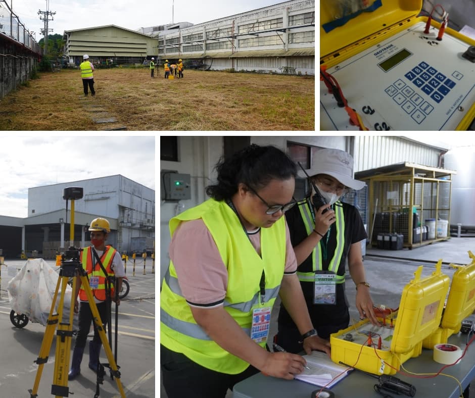
GALERIO conducted a geophysical investigation consisting of two (2) 2D Electrical Resistivity Imaging (ERI) survey lines within the property of RM Foods Incorporated, located in Barangay Dampol, Pulilan, Bulacan, Philippines. Electrical Resistivity Imaging is a non-invasive geophysical method used to investigate subsurface conditions by measuring variations in electrical resistivity from the ground surface. The acquired measurements are processed and interpreted to develop two-dimensional resistivity profiles representing the distribution of subsurface materials. The method provides valuable information for identifying potential geological variations, subsurface structures, possible water-bearing formations, and changes in soil and rock characteristics. The investigation provides subsurface geophysical information that may support groundwater exploration, geological characterization, and engineering planning, subject to correlation with available geological and hydrogeological data.
Our contribution
Services provided
- Technical Capabilities:
- 2D Electrical Resistivity Imaging (ERI)
- Two geophysical survey lines
- Ground-based electrical resistivity measurements
- Subsurface resistivity distribution assessment
- Two-dimensional resistivity profiling
- Geophysical interpretation of subsurface conditions
- Identification of potential geological structures
- Assessment of possible water-bearing formations
- Geophysical support for groundwater and engineering investigations
- Approach:
- Identify and establish two designated Electrical Resistivity Imaging survey lines within the RM Foods Incorporated property.
- Conduct ground-based electrical resistivity measurements along the established survey alignments.
- Acquire subsurface apparent resistivity data using electrical resistivity survey equipment.
- Process the acquired field measurements to generate two-dimensional subsurface resistivity models.
- Interpret variations in subsurface resistivity to identify potential changes in geological materials, subsurface structures, and possible water-bearing formations.
- Consolidate the geophysical findings to provide technical information supporting geological and groundwater-related assessments.
- Regulatory Context:
- The 2D Electrical Resistivity Imaging survey was undertaken as a geophysical investigation to characterize subsurface conditions within the RM Foods Incorporated property.
- Electrical resistivity surveys provide indirect information on subsurface geological conditions and potential groundwater-bearing formations. Interpretation of resistivity results should be correlated with available geological, borehole, and hydrogeological information where applicable.
- Any subsequent groundwater extraction or well development activities would be subject to applicable Philippine water resource regulations and permitting requirements, including those administered by the National Water Resources Board (NWRB), where applicable.
Related work
More in Engineering and Geoscience
 Engineering and Geoscience
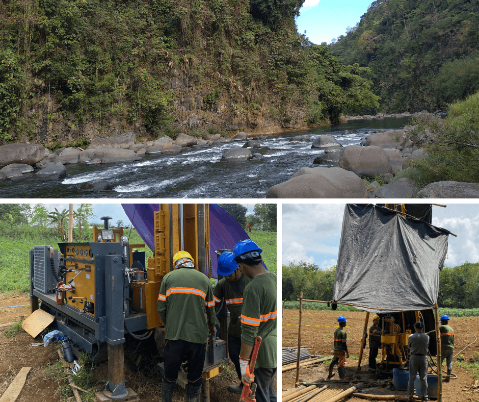
33.5 MW Bulanog–Batang Hydropower Project – Geotechnical and Geophysical Investigation
Talakag, BukidnonComprehensive geotechnical and geophysical investigation for the proposed 33.5 MW Bulanog–Batang Hydropower Project in Talakag, Bukidnon, involving 15 exploratory boreholes, Standard Penetration Tests, permeability testing, downhole seismic testing, and seismic prospecting to support engineering design and construction planning.View Project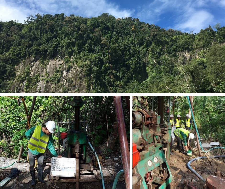 Engineering and Geoscience
Cabadbaran Hydroelectric Power Project – Geotechnical Investigation for Detailed Engineering Design
CabadbaranComprehensive geotechnical investigation for Markham Resources Corporation's Cabadbaran Hydroelectric Power Project, involving 14 exploratory boreholes, 12 test pits, 15 Standard Penetration Tests, nine packer tests, and laboratory testing of soil and rock samples to support detailed engineering design.View Project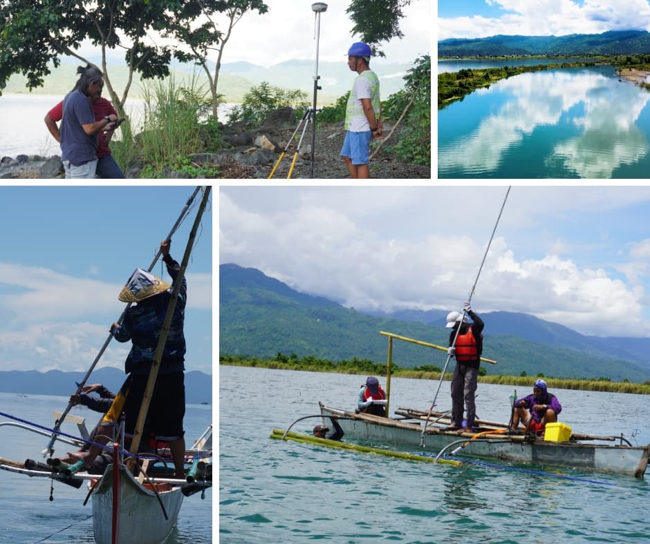 Engineering and Geoscience
Kalinawan River – Topographic Survey, Flow Measurement, and Water Level Assessment
Kalinanwan RIverTopographic surveying, river flow measurement, and water level assessment conducted by the GECI technical team along the Kalinawan River in 2022 to gather essential topographic and hydrological data supporting river characterization and water resource assessment.View ProjectStart a conversation
Let's discuss your project.
Tell us what you are planning and where GALERIO can support your team.